September 30 is the National Day for Truth and Reconciliation. It is a day to acknowledge the painful history and ongoing impacts of the residential school system and to honour the strength and resilience of survivors and their communities. It is also a day that calls us to action and to hope. In that spirit of hope, we are proud to share this story from our Library’s Indigenous Initiatives Team, whose recent experience at the International Indigenous Librarians’ Forum embodies a hopeful path forward. Their work—building community, affirming Indigenous rights, and sharing knowledge—is a living example of how we can all contribute to a brighter, more just future.
International Indigenous Librarians’ Forum (IILF)
What happens when Indigenous librarians and allies from around the world gather to share, learn, and connect? Our Library’s Indigenous Initiatives team (IIT) recently found out, returning from the International Indigenous Librarians’ Forum (IILF) with new ideas and a renewed sense of purpose.
Held every two years, the IILF is a dynamic space for Indigenous peoples to discuss the needs of their patrons, develop practices that uphold Indigenous rights, and share their visions for bright Indigenous futures. The 13th forum was particularly special, hosted in Tkaronto (Toronto), the traditional territory of Haudenosaunee and Anishinaabeg peoples. It was only the third time the IILF has been held in what is currently Canada. (See this research guide for a detailed history of IILF).
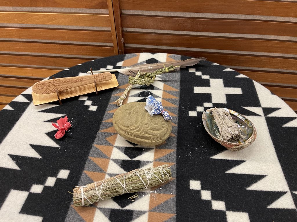
The Dish with One Spoon
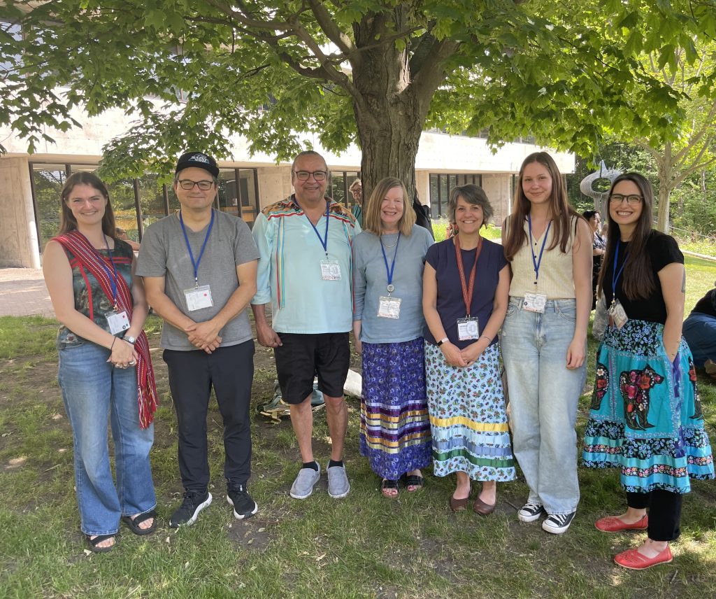
The forum theme, “The Dish with One Spoon,” is a powerful teaching and a call to share and care for the lands and waters together. This message resonated deeply with the Indigenous Initiatives team, reinforcing the Library’s commitment to our own Decolonization & Indigenization initiatives. Directly related to this library priority, the University of Alberta Library & Museums was proud to support six Indigenous staff members—including two student interns—to attend this vital gathering. Our colleagues were active participants, presenting posters, leading sessions, and volunteering throughout the forum. Our Indigenous interns, Abigail Deck and Autumn Brown, reflected on the experience: “As two early-career Indigenous librarians, it was truly a joy to spend four days with people from all over the globe and hear how they work towards the vitalization, sustainability, and growth of their communities in public and academic libraries. The experience offered us time to reflect on our own commitments and place in the library world, and offered us the opportunity to consider future projects based on the values of inclusion, reconciliation, and reciprocity.”
The Day on the Land
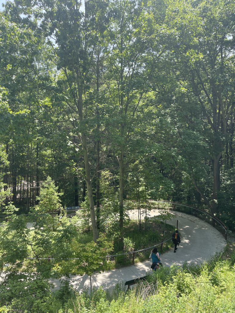
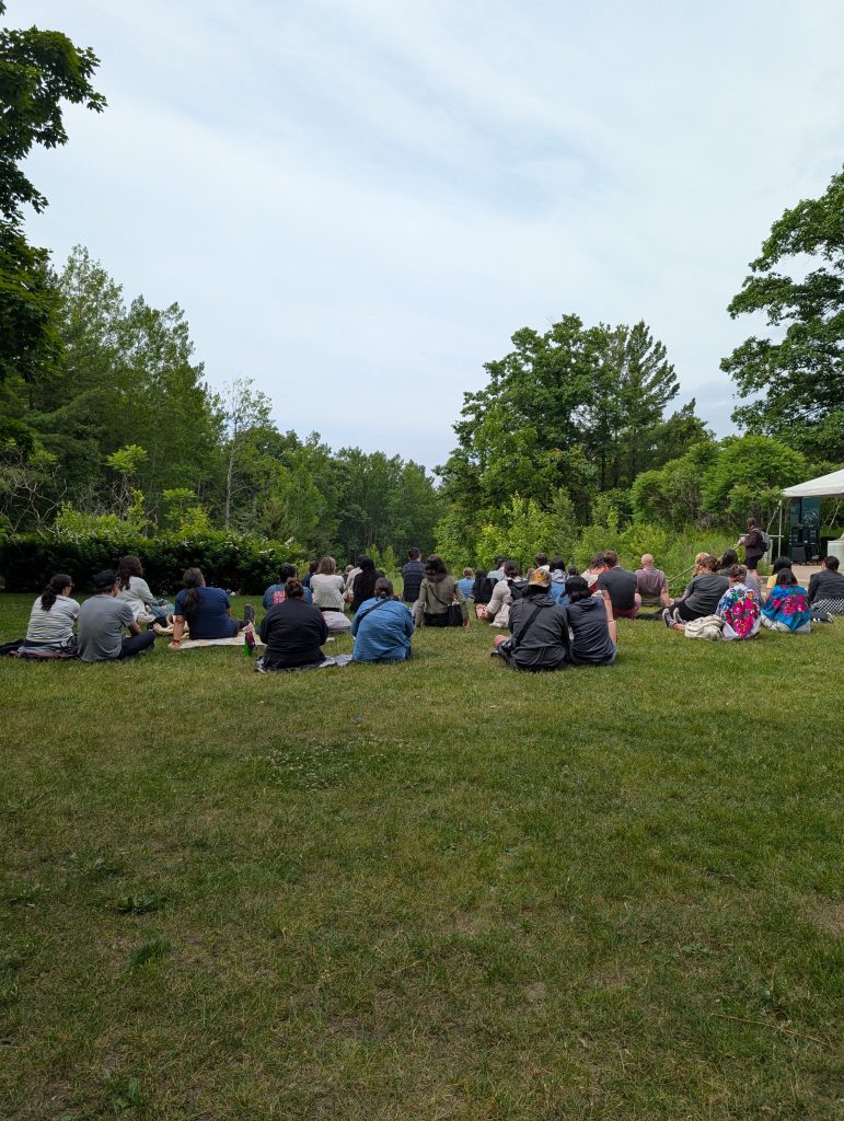
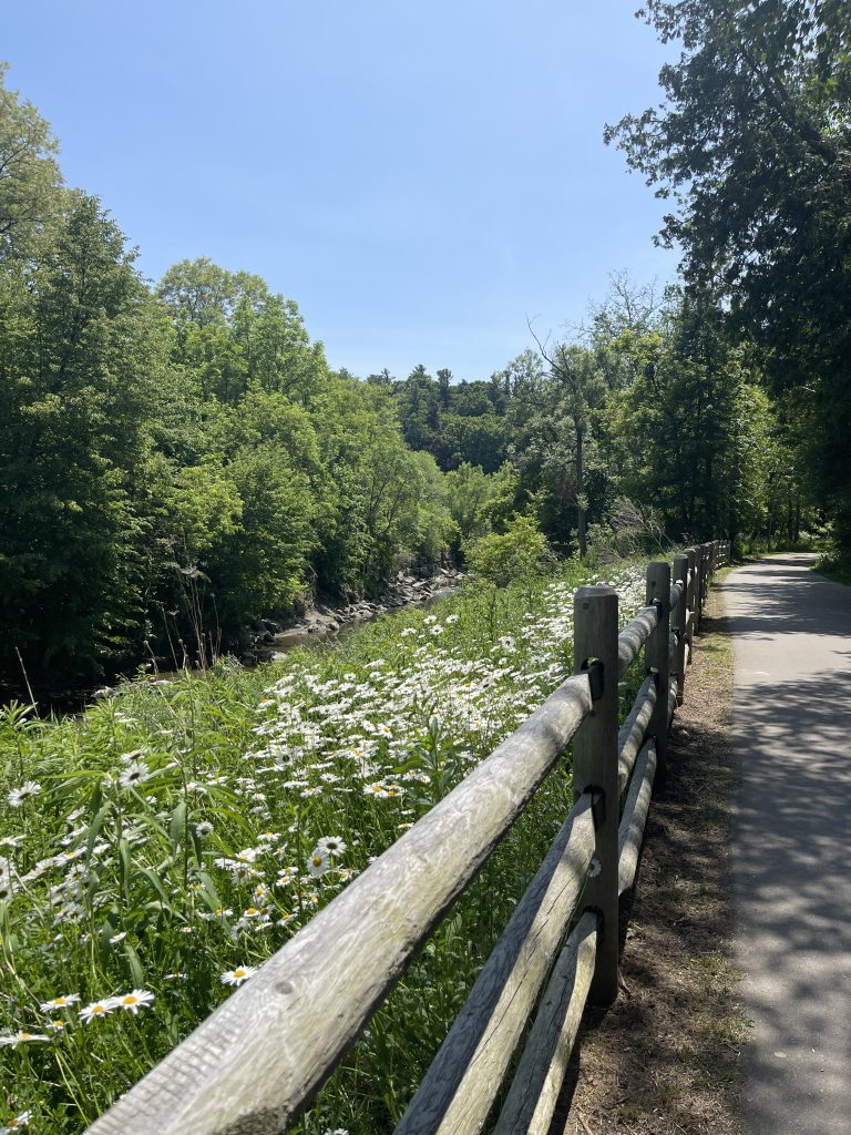
One of the most unique and meaningful parts of the forum is the Day on the Land, a tradition that encourages attendees to immerse themselves in the culture and practices of the Indigenous host community. This year’s day started with a beautiful sunrise ceremony. The team then traveled to the Ma-Moosh-Ka-Win Valley Trail, where they received cultural teachings from Traditional Teachers. As one of the attendees shared, the Day on the Land was an opportunity to “come together as Indigenous peoples and settlers alike to reflect on the morning’s teachings and to centre oneself in an Indigenous place-making experience.”
Beyond the Day on the Land, the forum was filled with inspiring events. The team attended talks from acclaimed keynote speakers, including award-winning Anishinaabe journalist Tanya Talaga, and Cindy Hohl, President of the American Library Association. They also enjoyed a screening of the powerful documentary Singing Back the Buffalo by Alberta Cree filmmaker Tasha Hubbard and engaged in a discussion with Hubbard and Blackfoot Elder Leroy Little Bear. The event also provided space for Indigenous craftspeople and authors to share their work, fostering community and connection.
The forum was an important space for Indigenous peoples to be in community and to build relationships with colleagues from around the world. As IIT Co-Lead Debbie Feisst put it, “attending IILF together as a Team enabled us to connect in person with Indigenous Library colleagues with whom we have worked virtually for some time, to spend time in ceremony, learn from others’ protocol and to celebrate our work as Indigenous Library and Museums professionals.”
This experience has already inspired members of the Library’s Indigenous Initiatives Team to develop new programs, improve our collections, and build stronger relationships within their community. The team looks forward to imagining new initiatives that are a direct result of the connections and inspiration from the IILF. Questions or feedback for the Library’s Indigenous Initiatives Team can be directed to iit@ualberta.ca.
This content is licensed under a CC BY-NC-SA 4.0 Creative Commons licence.
