Have you ever wondered how local political ads have evolved? Or explored historical newspapers to find old relatives’ bowling groups, or marriage announcements? Have you enquired about the cost of a gallon of milk in your town in 1965? Questions like these arise when considering the significance of newspaper digitization.
The Drayton Valley Newspaper project
The Drayton Valley Newspaper project began in 2023 when Sandra Blades of the Drayton Valley Museum contacted the library. They informed us that they had copies of Drayton Valley’s local newspaper, The Western Review going back to 1956, about a year after its initial publication by Leanord Hogarth 1. The project has undergone many stages and digitized copies from 1965-1972 are in the process of being added to the library’s Internet Archive collection. Let’s discuss the Drayton Valley Newspaper project as a way to understand the digitization process.
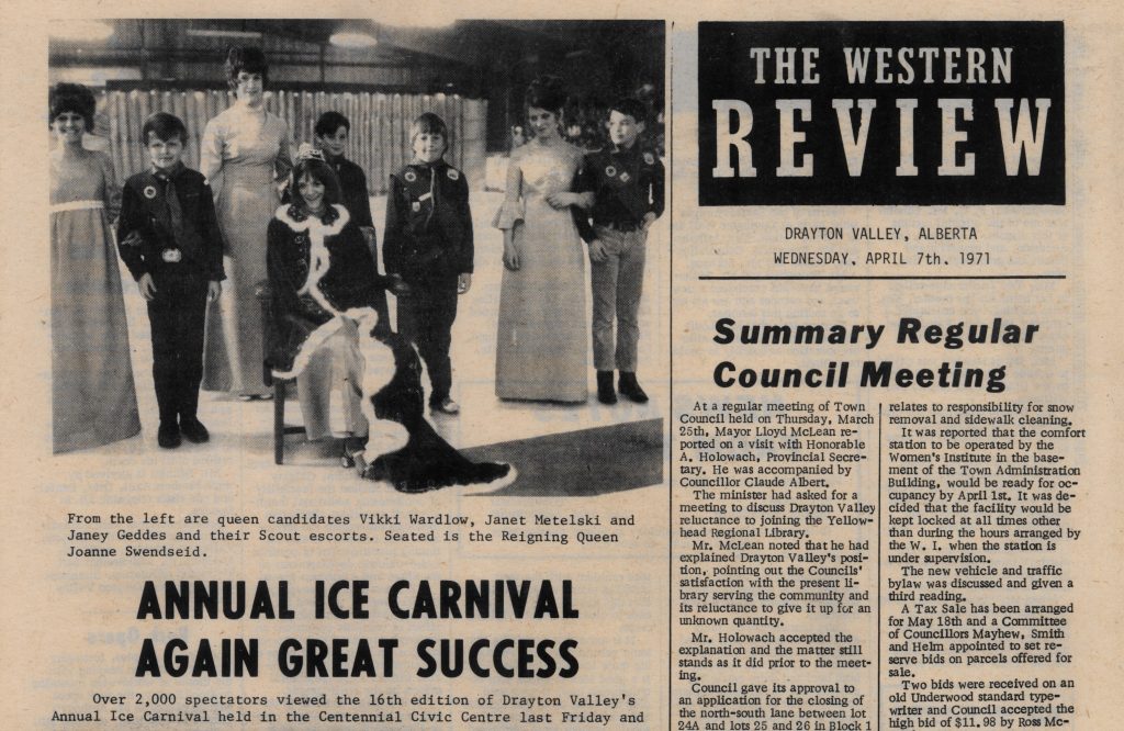
We wanted to make these newspapers accessible to read as Internet Archive flipbooks. A flipbook is a mode of reading digitally that appears and operates like a physical book (here is an example from the Edmonton Queer History collection). In order to be readable as a flipbook, the images needed to be altered. This is because they were scanned as one image consisting of two pages of the newspaper.
While it was possible to manually edit these images using photo editing software, it seemed most efficient to use Python’s image editing capabilities. Python, a versatile computer programming language, allowed us to automate this process. For this project, I wrote a script that navigates to the center point of each image and splits it into two separate images.
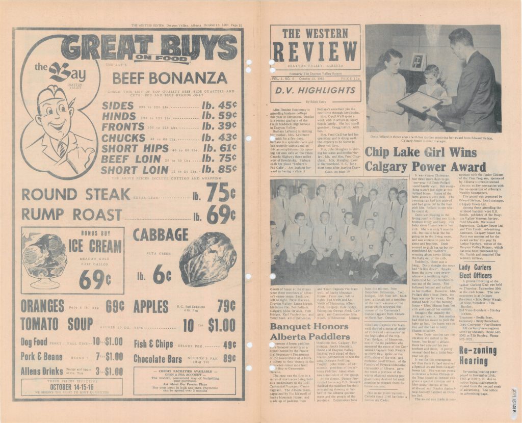
This was not the only challenge to be tackled using Python because not all issues had the same page numbers. Therefore, not every newspaper we had scanned was ordered in the same way. This meant we needed to create different scripts that would correctly label the page number of each image. Python proves to be a useful language for expediting library tasks, including digitization.
Unexpected perks of the digitization process
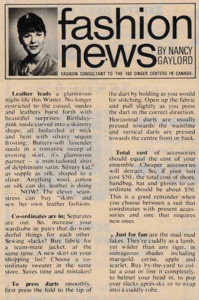
This process meant I had the joy of getting to read some of these newspapers while splitting the images. What was particularly fun to watch evolve was the styling of the fashion ads as the paper emerged from the 60s into the 70s. I became quite a fan of fashion consultant Nancy Gaylord’s “Fashion News”, which included helpful tips for readers. On a personal level, the Western Review taught me how to press pants, but on an academic level there are all sorts of angles researchers can take!
What has been particularly fun about this project is the opportunity to collaborate with community partners. This project was initiated by members of the Drayton Valley Museum through our project proposal document available on the Digitization page of the library website, which is open to members outside of the university. Something I love about working with digitization services at UAL is that we have this opportunity for community collaboration and impact.
Next Steps
The digitization process can take time; this project, for example, is years in the works. The next step for this project is uploading, and due to the high-quality nature of our images, uploading takes time and is often completed in batches. Keep an eye on our Internet Archive page where issues of The Western Review can be accessed. Subsequent papers have plans to be digitized and made available after this initial project. Hopefully, your interest has been piqued and you will look out for Drayton Valley’s The Western Review on our Internet Archive repository this summer!
Thank you to Dana Villareal, Student Digitization Assistant for submitting this article!
1 Gloria M. Strathern, Alberta Newspapers, 1880-1982: An Historical Directory (Edmonton, AB: University of Alberta Press, 1988), 75, 342.
This content is licensed under a CC BY-NC-SA 4.0 Creative Commons licence.